Long term current monitoring at U-864 location outside Fedje 2014-2015
| dc.contributor.author | Jaccard, Pierre Franqois | |
| dc.contributor.author | Staalstrøm, Andre | |
| dc.contributor.author | Skogan, Odd Arne Segtnan | |
| dc.contributor.other | Øxnevad, Sigurd - Project manager | |
| dc.date.accessioned | 2015-06-22T07:47:24Z | |
| dc.date.accessioned | 2015-06-23T08:06:38Z | |
| dc.date.available | 2015-06-22T07:47:24Z | |
| dc.date.available | 2015-06-23T08:06:38Z | |
| dc.date.issued | 2015 | |
| dc.identifier | 6876 | |
| dc.identifier.citation | NIVA-rapport. 22 p. Norsk institutt for vannforskning, 2015 | nb_NO |
| dc.identifier.isbn | 978-82-577-6611-5 | |
| dc.identifier.issn | 1894-7948 | |
| dc.identifier.uri | http://hdl.handle.net/11250/285396 | |
| dc.description | nb_NO | |
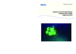
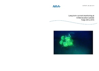
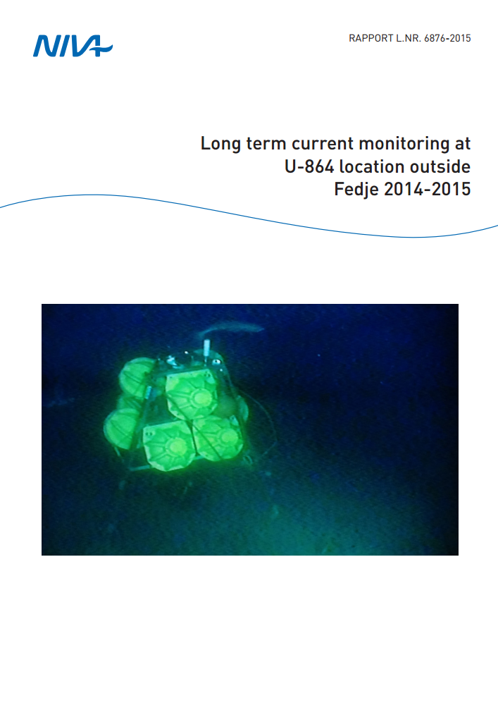
| dc.description.abstract | In January 2014, NIVA participated in a survey by the wreck of submarine U-864 outside Fedje. NIVA’s role was to carry out environmental monitoring during the survey. The cruise was ended by the deployment of an acoustic current profiler close to the wreck. The purpose was to perform a long term current monitoring of one year in the area and provide detailed information about current conditions for planning future subsea activities. The current profiler was deployed at 152 m depth between the two pieces of the submarine U-864 wreck. A trench with depths of about 174 m is found to the north of the site. The measurements started January 14, 2014 and ended 23 March, 2015. This represent at valuable and rare time series of current conditions in the Norwegian coastal current. The currents vary with depth, and the observations are divided into three layers: a bottom layer from 125m to 150m, an intermediate layer from 30m to 125m and a surface layer from 0m to 30m. The most striking characteristics of the current field are that the flow occurs mostly in the northerly direction and with a relatively high current speed. | nb_NO |
| dc.description.abstract | I januar 2014 deltok NIVA på et tokt ved ubåt U-864 utenfor Fedje. NIVAs rolle var å utføre miljøovervåking. Toktet ble avsluttet med utsetting av en akustisk strømmåler som skulle stå der i ett år og foreta langtidsmålinger av strømforholdene gjennom hele vannsøylen. Instrument ble satt ut ved 152m dyp mellom begge vrakdelene. Målingene ble utført mellom 14. januar 2014 og 23. mars 2015 og bidrar til verdifull informasjon om den Norske Kyststrømmen. Utfra observasjonene ble det mulig å dele opp vannsøylen i 3 forskjellige lag: et bunnlag som strekker seg fra 125m til 150m, et intermediært lag mellom 125m og 30m og helt øverst en overflate lag fra 30m og oppover. Målingene viser at vann strømmer stort sett bare mot nord og med relativ høy hastighet. | |
| dc.description.sponsorship | DOF Subsea Norway | nb_NO |
| dc.language.iso | eng | nb_NO |
| dc.publisher | Norsk institutt for vannforskning | nb_NO |
| dc.relation.ispartofseries | NIVA-rapport;6876 | |
| dc.rights | Navngivelse-Ikkekommersiell-DelPåSammeVilkår 3.0 Norge | * |
| dc.rights.uri | http://creativecommons.org/licenses/by-nc-sa/3.0/no/ | * |
| dc.title | Long term current monitoring at U-864 location outside Fedje 2014-2015 | nb_NO |
| dc.title.alternative | Langtidsovervåking av strømforholdene ved U-864-lokaliteten utenfor Fedje 2014-2015 | nb_NO |
| dc.type | Research report | nb_NO |
| dc.date.updated | 2015-06-22T07:47:24Z | |
| dc.rights.holder | Norsk institutt for vannforskning / Norwegian institute for water research | |
| dc.subject.nsi | VDP::Matematikk og naturvitenskap: 400 | nb_NO |
| dc.subject.nsi | VDP::Mathematics and natural scienses: 400 | nb_NO |
| dc.source.pagenumber | 22 | nb_NO |
| dc.identifier.cristin | 1249690 | |
| dc.subject.keyword | Fedje / Fedje | |
| dc.subject.keyword | Overvåking / Monitoring | |
| dc.subject.keyword | Strømmålinger / Current measurements | |
| dc.subject.keyword | Ubåt U 864 / Submarine U-864 | |
| dc.relation.project | 13346 | nb_NO |
Tilhørende fil(er)
Denne innførselen finnes i følgende samling(er)
-
NIVA-rapporter [7006]
-
Publikasjoner fra Cristin - NIVA [2160]

Med mindre annet er angitt, så er denne innførselen lisensiert som Navngivelse-Ikkekommersiell-DelPåSammeVilkår 3.0 Norge